From a growing network of the world's top Earth Observation providers

Learn how DataDeli started, our vision, and the values that drive our work every day.
See the faces behind our solutions, meet our leadership, and explore the DataDeli culture.

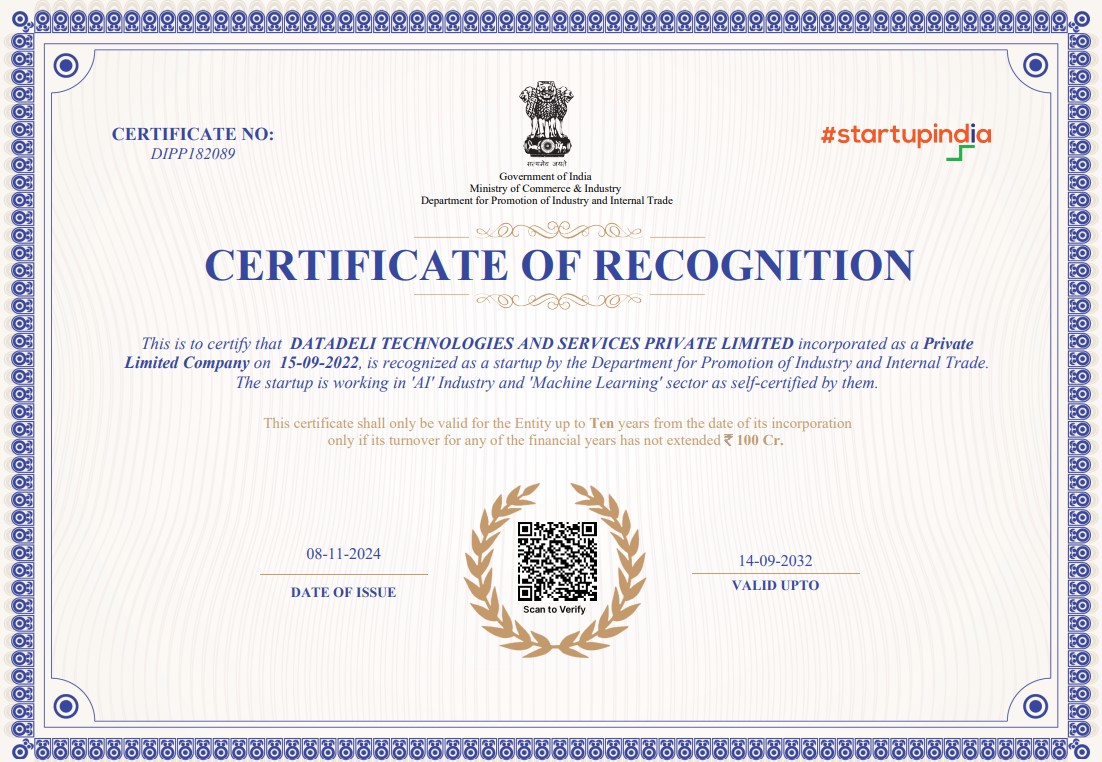
DataDeli Technologies and Services Pvt. Ltd. is a DPIIT-recognized startup under the Startup India initiative, certified by the Government of India vide Certificate No. DIPP182089. It was founded in 2022 by successful domain experts with proven track records in space and technology organizations like ISRO, NASA, IIT, and Microsoft. We also have regulatory and policy experience from working to support the highest levels of government.
Our expertise lies in creating powerful tools that extract actionable insights from Earth observation data in combination with cadastral and socioeconomic data. We tackle land acquisition and property management challenges through innovative geospatial intelligence solutions that leverage cutting-edge technology.
At DataDeli, we're committed to producing transparent and explainable analytical tools that provide reliable and trustworthy insights to create more informed, responsive, and resilient clients and communities. Our highly skilled team of engineers, data scientists, and managers collaborate closely with our clients to push the boundaries of what's possible for their diverse land management applications and needs.
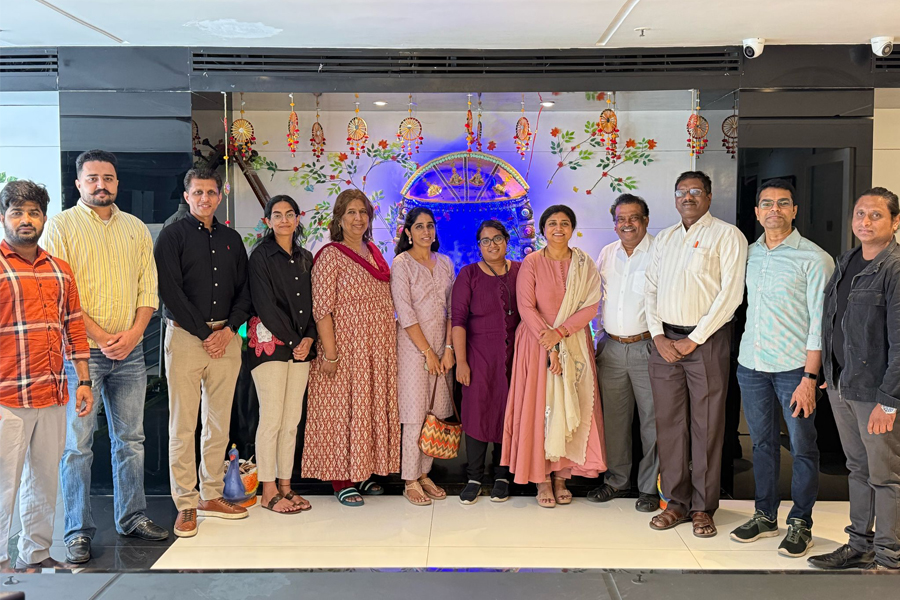
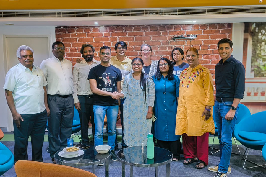
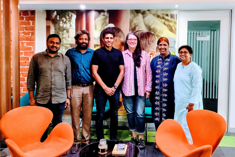
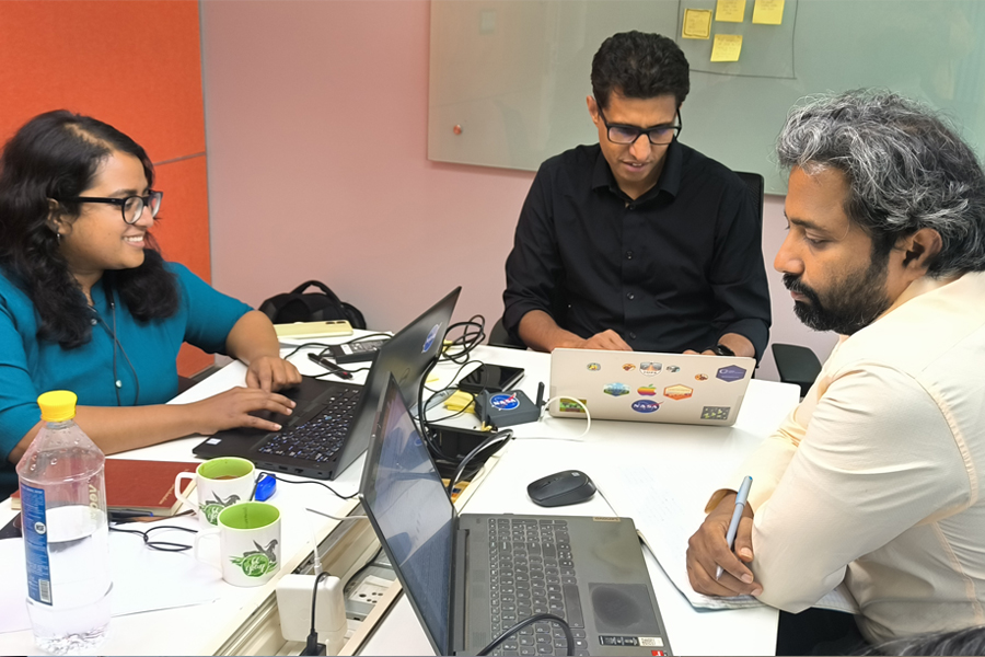
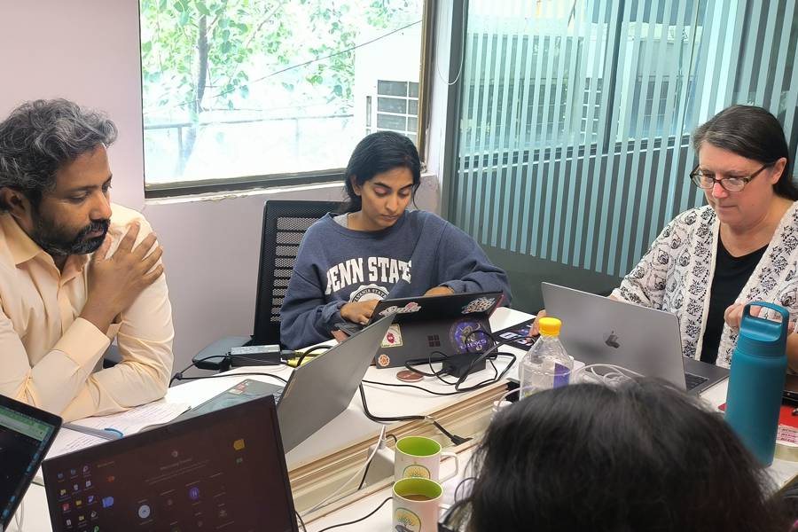
At DataDeli, we’ve come together to turn complexity into clarity—with purpose, precision, and heart. Our team blends scientists, engineers, analysts, and communicators from varied geographies, genders, and social backgrounds. This diversity isn’t incidental—it’s the foundation of how we build, question, and connect.
We believe that every voice strengthens our systems, and every perspective shapes our mission. The snapshot below reflects not just who we are, but why we’re here: united by curiosity, grounded in impact, and committed to serving with dignity.


From space to the structure, our multidisciplinary team builds the tools that monitor our planet. We translate complex satellite imagery into the strategic intelligence required for modern land and infrastructure management.
- CEO
An IIT geosciences engineer integrating satellite data and AI to build scalable cloud workflows for infrastructure governance and environmental systems.
An electrical engineer with 20 years of IT leadership, specializing in geodesy, geophysics, and managing complex NASA-related software delivery projects.
Formerly of NRSC-ISRO, he brings 30 years of remote sensing expertise to guide sustainable geospatial solutions for national infrastructure projects.
- Chief Knowledge Officer
A NASA veteran with 35 years of experience, she leads the Deep Learning Academy to build organizational capacity in geospatial AI.
- Geoinformatics & ML Ops Engineer
An Earth scientist with 12 years of NASA support experience, optimizing scalable cloud environments for hydrology and climate data science.
- ML Scientist & Team Lead
A doctoral researcher and expert in scientific computing who leads the development of high-level machine learning models for change detection.
- GEOSPATIAL ENGINEER
A specialist in optical and SAR satellite data, deriving critical land-use insights and disaster assessments from very high-resolution imagery.
- DATA SCIENTIST
Focused on geospatial workflows and satellite scene annotation, she ensures high-quality data inputs for accurate infrastructure mapping and monitoring.
- ML & Software Engineer
A Penn State data scientist who automates data acquisition pipelines and builds application frameworks to transform complex datasets into solutions.
- Data Corpus Initiative Lead
An alumnus of Hyderabad Central University, she uniquely leverages Library and Information Sciences to lead the development of DataDeli's data-corpus.
- Data Analyst & QA Lead
He leads quality assurance and workflow support for geospatial AI projects, ensuring the accuracy and integrity of data-driven insights.
We'd love to hear from you!